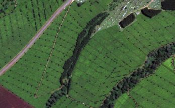
PMFBY: Using satellite imagery for assessing farmers crops
The government is also using satellite imagery to assess the crop area, crop condition and crop yield, at district level, under various programmes
PMFBY: Using satellite imagery for assessing farmers crops Read More