PMFBY: Using satellite imagery for assessing farmers crops
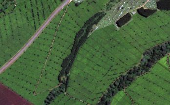
The government is also using satellite imagery to assess the crop area, crop condition and crop yield, at district level, under various programmes
Read MoreAgriculture News, Farming News, Research, Horticulture
The government is also using satellite imagery to assess the crop area, crop condition and crop yield, at district level, under various programmes
Read MoreSpace technology helps getting fast and accurate information about the crop situation in the country. It provides digital data, which is amenable to various analyses
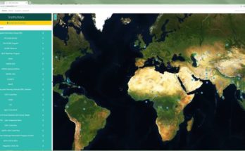
Read MoreSeeing both forests and trees is about to get easier, thanks to a new open-access tool developed by NASA and FAO with support from the Google Earth Engine Team and the US Government’s SilvaCarbon Program – allowing anyone to track land-use and landscape changes anywhere
Read More