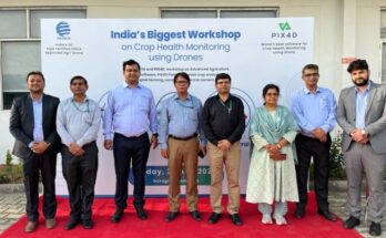
IoTechWorld Avigation collaborates with Swiss company Pix4D to offer precision farming solutions
Pix4D is recognised for its Pix4Dfields Software, a cutting-edge solution designed for advanced agricultural mapping. The software process RGB and multispectral data for aerial crop analysis and digital farming
IoTechWorld Avigation collaborates with Swiss company Pix4D to offer precision farming solutions Read More