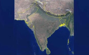
ICRISAT-ADB high-resolution spatial maps to enable cropland mapping for insurance claims
Insurance companies and governments worldwide are increasingly using spatial data to evaluate challenges and damages posed by adverse climatic shocks on agricultural production
ICRISAT-ADB high-resolution spatial maps to enable cropland mapping for insurance claims Read More